

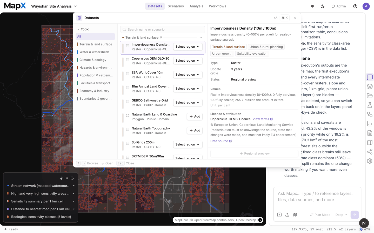
Where to find it
Open the top menu and choose Datasets. The same catalog is one click away from the empty state of the Data panel, which links to built-in data and scenarios. The catalog is organized as:Browse and filter
The filter rail on the left narrows the catalog by topic, industry, and purpose, and the search box matches names and scenarios:- Topics — terrain & land surface, water & watersheds, climate & ecology, hazards & environmental quality, population & settlements, facilities & transport, economy & industry, boundaries & governance.
- Industry — vertical catalogues that package datasets with the method and the data a sector needs. Urban & rural planning is the first of these; see Scenarios for the six planning scenarios it ships with.
- Purpose — suitability evaluation, carrying capacity, 15-minute neighbourhood and facility coverage, facility siting, urban growth monitoring, land-use conflict screening.
Read the entry before adding it
Selecting an entry shows everything you need to judge whether it fits your analysis: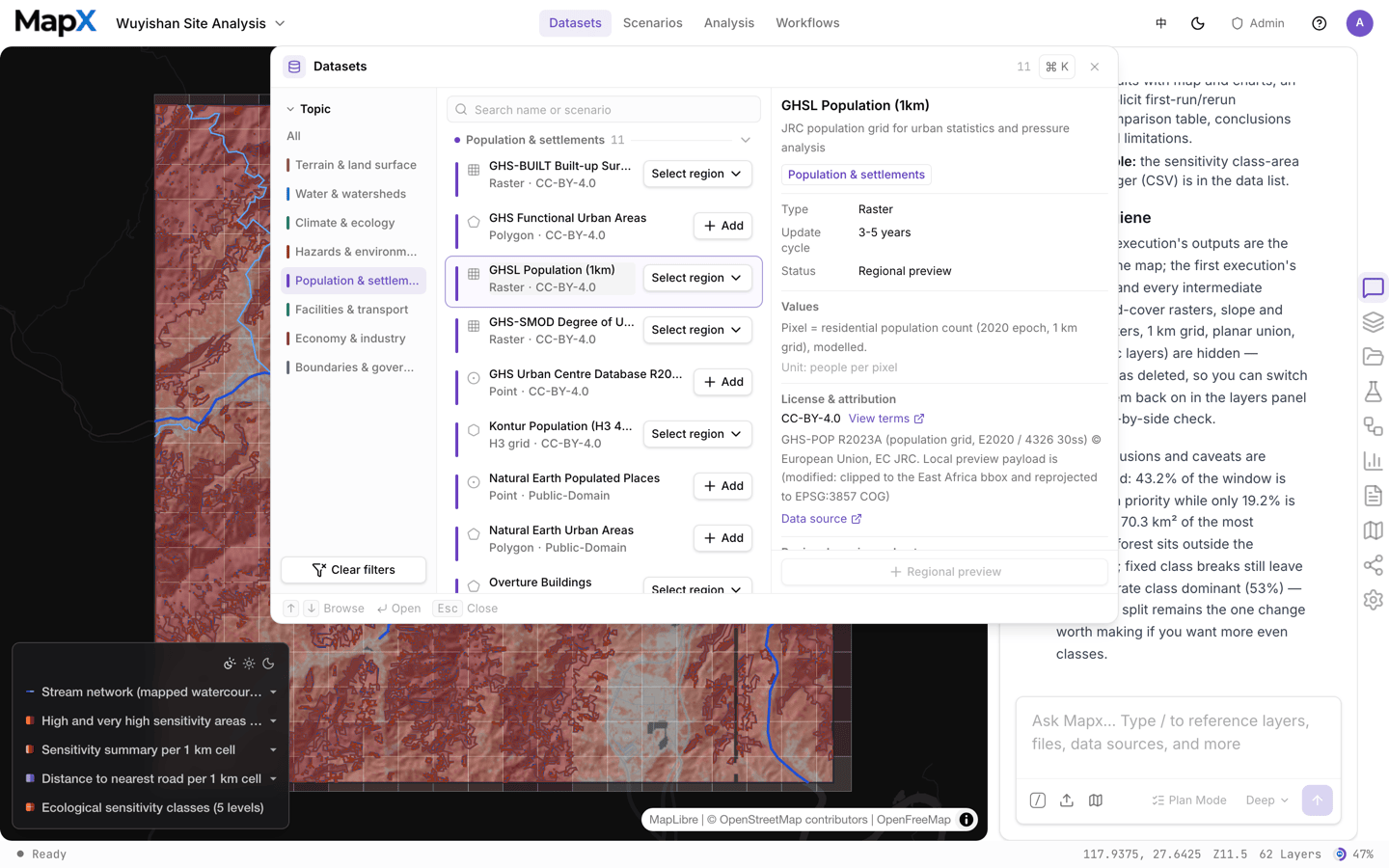
Add data to a project
1
Open the project
Built-in data is added to the project you are working in, so open or create a workspace first.
2
Pick the entry and the extent
Some entries are global and heavy. If the entry offers region previews, choose the city or region you need — the layer covers your study area at a fraction of the size.
3
Choose Add
The entry is imported as a normal layer: it appears in the layer list with its default style, legend, and attribution. Scenarios use Use scenario instead, which imports every layer in the bundle at once.
Added datasets count against your plan’s storage. Global rasters and dense building footprints are the large ones — add a region preview when you only need one city.
Entries that are not ready yet
The catalog is honest about availability. An entry can be listed while it is still being prepared, and the platform tells you which case you are in:- Planned / data pending — the entry is registered but its payload is not published yet. It cannot be added.
- Licence review — the upstream licence is being verified; the entry stays visible but disabled.
- Region preview only — the global file is too large to serve, so only regional subsets are offered.
- Retired — the entry was removed; historical projects that already used it keep their layers.
Related
- Scenarios — datasets bundled with a study area and a method
- Analysis — what to do with a dataset once it is on the map
- Files — how uploaded files are stored and managed
- Data security — where project data lives